
Feature Types (previously Feature Classes) in EarthRanger organize geographic elements such as points, lines, and polygons into structured groups based on real-world entities like roads, rivers, or park boundaries. Grouping similar features (for example, all roads or all water sources) under Feature Types allows for precise control over how those features appear on the map including adjustments to icons, fill and stroke colors, opacity, and line widths.
This configuration ensures visual consistency across your maps, supports operational clarity, and enhances readability in the Map Window.
💡 Note: Unlike Feature Groups (used for internal logic like analyzers), Feature Types directly control what users see under Map Layers in the EarthRanger interface.
Configure Map Styling for a Feature Types
Follow these steps to configure or update the presentation of map features in EarthRanger:
To configure how specific feature icons appear, follow these steps:
- Log in to EarthRanger Admin
- Go to:
https://<yourorganization>.pamdas.org/admin - Navigate to Feature Types
From the Admin home page, go to:
Home > Map Layers > Feature Types - Select a Feature Type
Click the name of the Feature Type you want to configure (for example, Rivers, Poaching Zones, Ranger Post, etc).
You’ll see a section labeled Presentation, which controls how this Feature Type appears on the map.
Customize Presentation Settings
After selecting a Feature Type, you'll see the Presentation section, which controls how it appears on the map. It's organized into three parts : Line Formatting, Point Formatting, and Polygon Formatting. Each with a live preview on the right so you can check your styling before saving.

Tip: For any color field, you can either type a hex code directly into the text box or click the colored swatch next to it to open a visual color picker.
Line Formatting (for Lines, e.g., Roads, Rivers)
| Field | Description | Example |
|---|---|---|
| Stroke Color | Line color. Enter a hex code or use the swatch picker. | #FF6600 |
| Stroke Width | Line thickness, in pixels. | 2 |
| Stroke Opacity | Drag the slider to set line transparency (0 = invisible, 1 = solid). | 1.00 |
Recommendation: Keep line widths under 3 px for optimal rendering speed and visual balance. Avoid using the same color for multiple overlapping line types.
Point Formatting (for Points)
| Field | Description | Example |
|---|---|---|
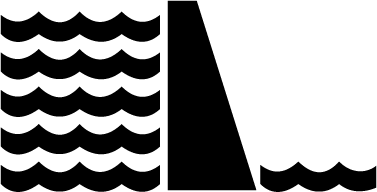
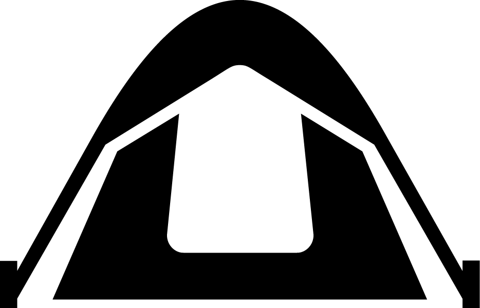
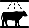
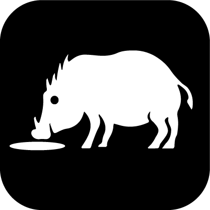
| Image URL | Path to an SVG icon file. Must exactly match a filename from the list of available icons below. | /static/ranger_post-black.svg |
| Width | Icon width, in pixels. | 20 |
| Height | Icon height, in pixels. | 20 |
Important: Only SVG icons are supported — PNG or JPG files will not render correctly. Ensure the path and filename exactly match one from the Currently Available Feature Icons list below.
Polygon Formatting (for Polygons, e.g., Zones, Lakes)
| Field | Description | Example |
|---|---|---|
| Fill Color | Interior color of the polygon. Enter a hex code or use the swatch picker. | #FF6600 |
| Fill Outline Color | Border color of the polygon. | #FF6600 |
| Fill Opacity | Drag the slider to set interior transparency (0 = invisible, 1 = solid). | 0.25 |
Tip: Use moderate fill opacity values (0.2 – 0.5) for large polygon areas so the base map stays visible underneath.
Advanced Attributes
For legacy configurations or edge cases not covered by the form, click Show next to Advanced Attributes to access the underlying JSON configuration directly.
Currently Available feature icons on EarthRanger:























































Save Your Changes
After editing the JSON configuration:
- Click Save to apply changes.
- Open the Map Layers > Features panel in EarthRanger Interface to verify that the styling updates are visible.
- Refresh the page if necessary.