
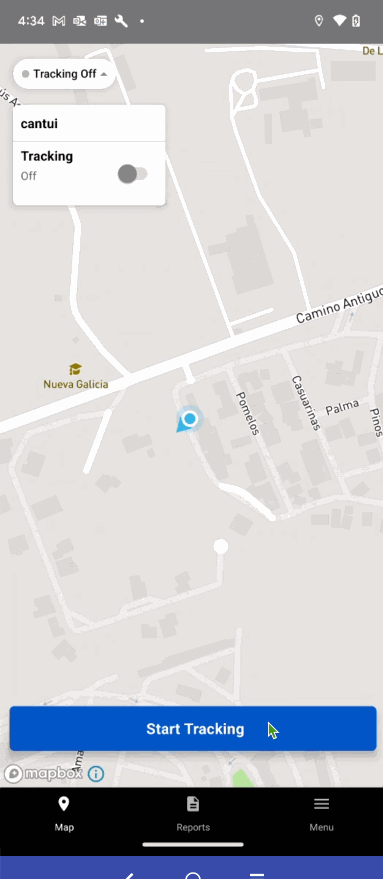
Switch Basemaps
The EarthRanger app now supports allowing users to switch the basemap in the app. Previously, the app opened with a default map of Streets, we wanted to add support for switching to topo and satellite basemaps provided by our map library.
Before |
After |
 |
 |
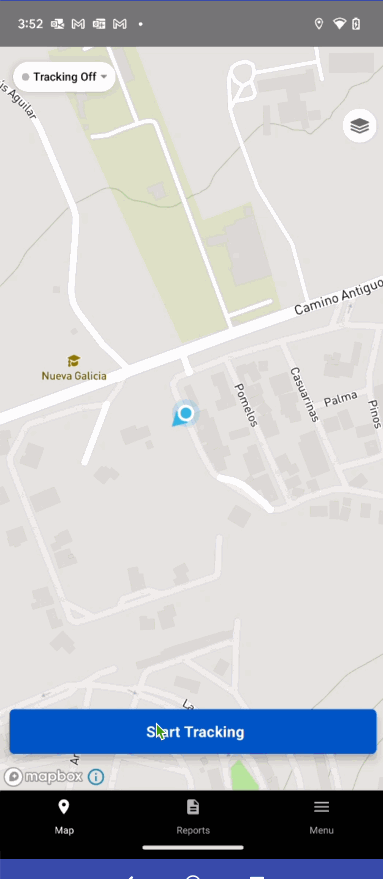
Default Basemap Topo
In this new release, we are introducing the "Topo" basemap as the default map display upon opening the application.
The "Topo" basemap provides users with detailed topographic information, including hill shades, topographical elevation contours, and landcover data, all in vector format.
Before |
After |
 |
 |
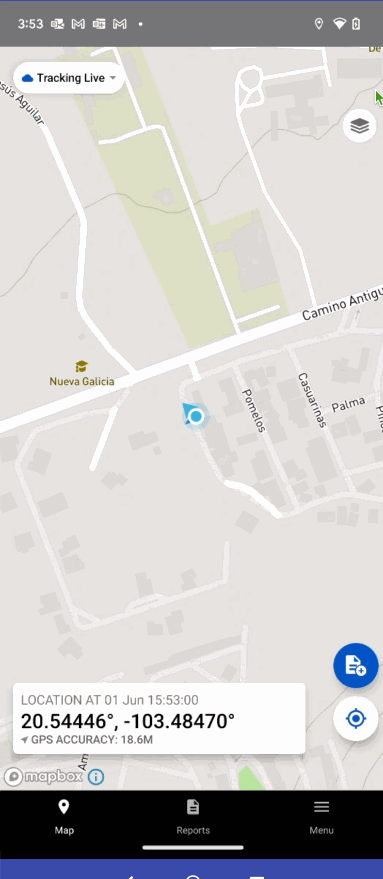
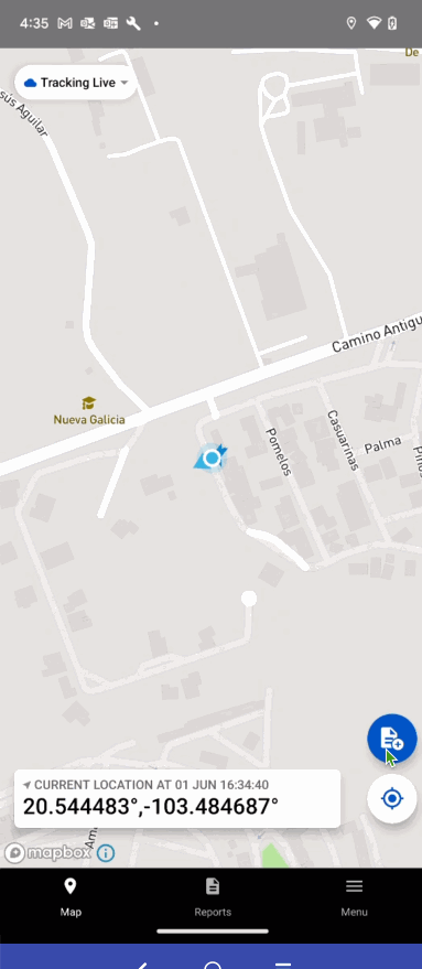
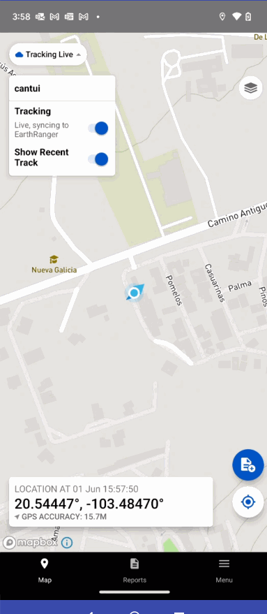
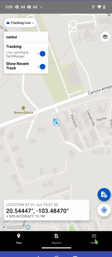
GPS accuracy value in Map Location Bar
Each device that runs EarthRanger has a limit to accuracy levels in generating device location through GPS sensors. At best, the limit is 3M which is the manufacturer limit, but accuracy levels can be higher depending on the quality of the sensor, sky view, and other factors.
In this release, we made the accuracy levels more easily discoverable so users get a reasonable expectation of quality in generating observation points.
Before |
After |
 |
 |
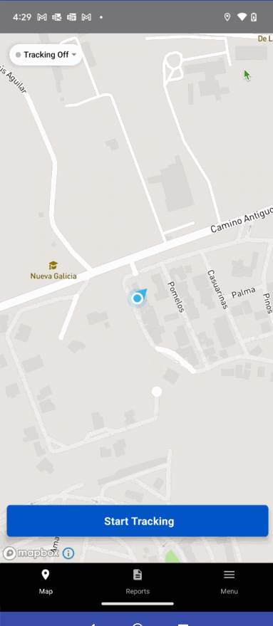
Enable save as draft button when location found in event report
In the bottom app bar the “Save as Draft” button now is enabled if a location is found in the report and no fields are populated or required to be populated.
Before |
After |
 |
 |
Confirmation dialog prior to submitting database to support
The app needed to inform users who choose to send to the Support Team the EarthRanger database that they are potentially sending sensitive data to the EarthRanger team and allow them to confirm they want to do this.
Before |
After |
 |
 |
Remove uploaded event reports from the database
Currently, users cannot interact with data/attachments associated with reports submitted on mobile. This affords the app the opportunity to clear out all data associated with submitted reports.
In this release, once a report and its associated attachments have been successfully uploaded the data is no longer in the database or persisted in the app file system
Remove stationary observation point clustering
Reduced visual observation points: We have implemented a filtering mechanism to address the issue of excessive visual observation points when the device is stationary. This ensures that only significant movements are considered for generating tracks, resulting in a more streamlined and accurate representation of the user's movement.
Minimized observation points generated: To optimize data generation, we increased the default time interval from 5 to 10 minutes for stationary devices. This change reduces the frequency of data updates, resulting in fewer observation points being generated and improving overall performance.
These enhancements aim to provide a more accurate and efficient tracking experience, reducing unnecessary data and improving the overall usability of the application